Water Conditions
Water Levels – Why should I care? What do they all mean?
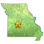
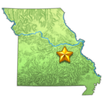
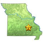
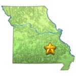
If you are going to fish the rivers of Missouri you must know and understand how to read the water level charts or you may be in for a wasted 2 – 4 hour drive. Many of the rivers have a “normal” level for wading. After a rain you should always check the river levels to decide if you should go fish or not. By doing this you can avoid muddy, high water levels and maybe even flood conditions. Usually after a couple days of rain it can take up to 2 – 4 days for the river to get back to normal levels. It may take even longer during heavy rains. So know the levels that keep you safe and into fish. Check below the location where you want to fish, read the water level information provided, click on the map which will then take you to the water level chart.
Cardiac Hill/Outside Meramec Spring Park – For the Meramec river outside the Meramac Spring park and the Cardiac hill area we use the water level gauges at Steelville. Normal water levels for fishing this area is between 1.5 – 2.5 feet. 3 feet water levels become very difficult for wading (this level you may not be able to cross over the river at the Park). Make sure flow rate is less than 800cfs but less than 400cfs is ideal.
Lake Taneycomo – On the Lake Taneycomo (Table Rock Lake) site check the tailwater (ft-msl); to wade fish it should be below about 705 feet MSL. No generation flow is around 702 feet MSL. Ideal release (csf) is from 0 – 1500 csf. Check the Generation flow charts below for the generation predictions for the next day.

